- A land surveyor is the only professional authorized to officially delimit a property; they are a member of the OAGQ (Ordre des arpenteurs-géomètres du Québec).
- The location certificate includes a plan and a report on the current state of the property, its boundaries and the property's compliance with applicable rules.
- The notary and the lender generally require an up-to-date certificate to close a sale with financing.
- A missing, outdated or non-compliant certificate can delay the sale: the right move is to verify early that you have a certificate reflecting the current state of the property.
The role of the land surveyor
A land surveyor is the professional responsible for determining and describing the position and boundaries of a piece of land. They are the only professional authorized to officially delimit a property in Québec: only a land surveyor can legally establish where the boundary between your property and your neighbour's lies. They are governed by a professional order, the OAGQ (Ordre des arpenteurs-géomètres du Québec), which guarantees the training and accountability of its members.
For an income property owner, a land surveyor typically comes into play in two contexts: at the time of a transaction (sale, purchase, refinancing), when a location certificate is needed, and during construction work or boundary questions (additions, fences, boundary disputes). Their work is both technical and legal: they document the actual state of the property and compare it against the title deeds, the cadastre and municipal regulations.
It is important not to confuse a land surveyor with other real estate professionals. They do not determine the value of your property — that is the role of a certified appraiser — and they do not assess the physical condition of the building's components, which falls to a building inspector. A land surveyor focuses on a precise but critical question: exactly where is your land, and is the building on it correctly situated relative to the boundaries and applicable regulations? Their signature and seal commit their professional liability, giving the document an official standing recognized by notaries, municipalities and financial institutions.
The location certificate, explained
The location certificate is the document most people associate with a land surveyor. It consists of two inseparable parts:
- a plan that illustrates the land, the location of buildings, the distances from the boundaries (setbacks) and relevant features such as fences, parking areas or an easement;
- a report that expresses the land surveyor's professional opinion on the situation and boundaries of the property, relative to the title deeds, the cadastre and the regulations in force.
In other words, it is both a description of the current state of the property and a professional opinion. It is neither a simple sketch nor an appraisal of the property's value: it is a record of the physical and regulatory compliance of the property at a given point in time. To better understand how this document fits into a transaction, see our guide on the notary and the sale of an income property.
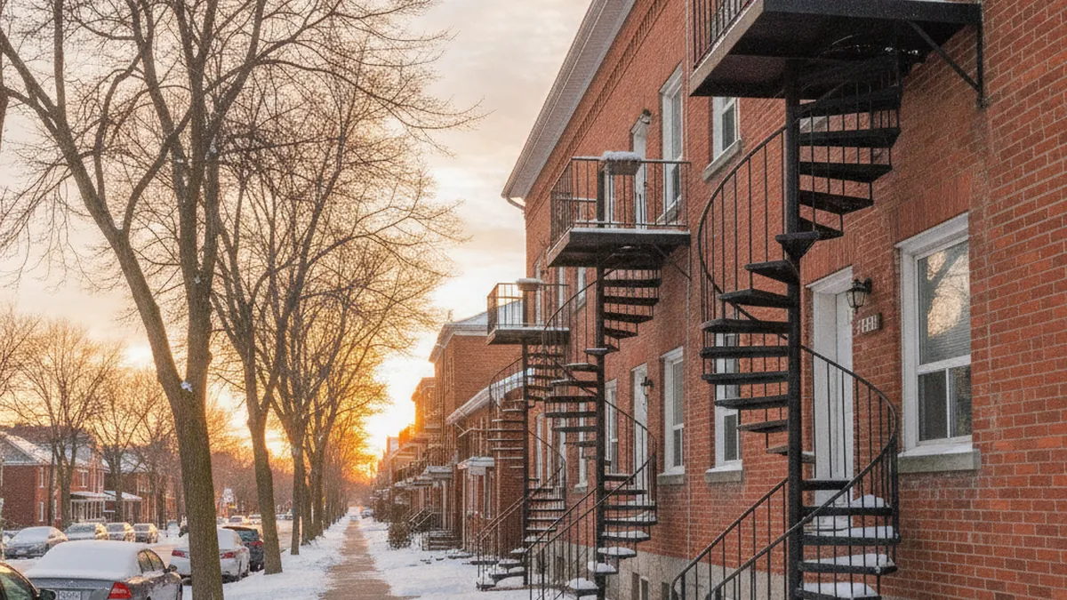
In practice, when you open a location certificate, the report on boundaries and compliance generally answers several questions: do the buildings respect the setbacks required by the zoning by-law? Do the fences and landscaping follow the property lines? Is there an encroachment, an apparent easement or an irregularity relative to the title deeds? The report may also mention items such as a flood zone, a riparian buffer or particular constraints affecting the land. For a multiplex, this section carries real weight: a parking area, a fire escape or a non-compliant addition may be flagged where it was least expected.
It is important to remember that the certificate describes the situation as of the date it was prepared. It is not static: if conditions change — or if regulations evolve — the document may no longer reflect reality. That is precisely what, in many files, leads to the need to order a new one at the time of sale.
Why the certificate is generally required at the time of sale
During a sale, two parties pay close attention to the location certificate: the notary and the lender.
The notary must ensure that what you are selling matches the title deeds and that there are no major irregularities (encroachment, non-compliant building, undisclosed easement). The certificate provides this official reading of the property. The lender, for their part, is financing the purchase: they want to ensure that the security they are taking (the property) is compliant and properly situated. For these reasons, the notary or the lender may require a recent location certificate before closing.
There is no single rule across the province imposing a fixed timeframe: in practice, it is the purchase agreement (the offer to purchase) and the requirements of the notary and the lender that determine what is needed. The purchase agreement typically stipulates that the seller must provide a certificate reflecting the current state of the property. If you are comparing different ways to sell, our guide on selling a property without a broker in Québec places the certificate in the context of the overall process.
From the seller's perspective, the main concern is simply not being caught off guard. The location certificate is part of the notarial file and often appears on the list of documents to provide when the notary is preparing the deed. If the document is missing, outdated or deemed non-compliant, the notary or lender may request a new one, and the transaction is put on hold while the land surveyor does their work. Anticipating this step means avoiding a last-minute surprise just before signing.
When a new certificate is required
A location certificate remains relevant as long as it still accurately describes reality. You will generally need to obtain a new one in several situations:
- work has altered the property since the last certificate: addition, new garage, shed, pool, storage building or parking area;
- the existing certificate has become too old in the eyes of the notary or lender;
- it is no longer compliant because municipal regulations have changed, or because it contains an error;
- the property has been subject to a cadastral operation (subdivision or consolidation of lots).
There is no fixed validity period that applies everywhere: it is generally the notary or the lender who decides, in your specific file, whether a more recent certificate is necessary. The practical reflex is therefore to ask the question early, as soon as you are considering selling. A good starting point: pull out your existing certificate, check the date, and compare what it describes against the current state of your property. If you have added a deck, redone the parking, installed a shed or expanded a unit since then, there is a good chance that a new document will be required.
It is also worth noting that a certificate prepared for a previous purchase belongs to that transaction's file. If it dates back several years and work has been carried out in the meantime, it probably no longer reflects the situation as a new buyer — and their lender — will want to see it. Rather than assuming it will "do the job," it is better to have your notary validate it early.
Encroachments, easements and setbacks
One of the main advantages of the location certificate is that it can reveal situations that would otherwise go unnoticed until a sale or a dispute:
- an encroachment: part of a building, a fence, a shed or a balcony that extends onto the neighbouring property — or conversely, a neighbour's structure that encroaches on yours;
- an easement: a right burdening the land, such as a right-of-way, a public utility easement (municipal services) or a view easement;
- failure to comply with setbacks: the minimum distance a building must maintain from property lines, as set by the zoning by-law.
Setbacks deserve particular attention for an income property. The zoning by-law sets a minimum distance between a building and each property line (front, rear, sides). An addition, a veranda or even a balcony added over the years may, without anyone realizing it, violate these setbacks. The location certificate is often the moment when this situation becomes visible — and when a decision must be made on how to address it before selling.
These findings do not automatically block a sale, but they must be disclosed and addressed. This is where the roles complement each other: the land surveyor documents the situation on the ground, while the notary advises on the legal follow-up (agreement with the neighbour, regularization, appropriate disclosure). A building inspector addresses the physical condition of the construction — a separate matter from property boundaries.
Other survey mandates
A location certificate is not the only service a land surveyor offers. Depending on your needs, you may also hear about:
| Mandate | What it is used for |
|---|---|
| Location certificate | A description of the current state of the property and a report on its situation and boundaries, primarily for a sale or financing. |
| Staking | Marking the approximate location of boundaries on the ground, for example before installing a fence. |
| Boundary survey (bornage) | An official procedure that permanently and definitively establishes the dividing line between two properties, often in cases of dispute. |
| Construction layout | Precisely positioning a new structure on the land to comply with setbacks and regulations. |
For a typical income property sale, the location certificate is by far the most common mandate. The others become relevant during construction work, a boundary dispute or a new build. Understanding the difference helps you request the right service: a full boundary survey should not be ordered when simple staking will do, and a location certificate does not replace a boundary survey in the event of a genuine dispute over the dividing line.
Timelines and costs: plan ahead to avoid delays
The cost of a land surveyor varies depending on the size and complexity of the property, the type of mandate and the region. For a location certificate, you should generally budget a few hundred dollars for a simple property, more for a larger property or a complex file. A multiplex with several buildings, a large lot or a history of work will require more effort than a small property, which is reflected in the fee. The most reliable approach is to request a quote for your specific property.
On the timeline side, you should allow time: depending on the workload of surveyors in your area and the season, several weeks may pass between placing the order and receiving the document. The spring and summer period, when transaction activity is higher, can extend the wait. This is precisely why a missing certificate can delay a sale at the worst possible moment.

The logic is simple: the time spent on the land surveyor is best managed upfront, not in the middle of negotiations. Requesting a quote as soon as the idea of selling takes shape gives you time to compare, plan the budget and, if a new certificate is needed, obtain it without holding up the signing. It is one of the easiest steps to anticipate — and one of the most costly to overlook.
The right move: as soon as you are thinking about selling your property, verify early that you have an up-to-date location certificate that reflects the current state of the property. If you have done any work or if the document is old, speak with your notary and order a new certificate without waiting for the offer to purchase.
Selling without a broker, directly to a buyer
ImmoMulti is not a broker: we are a direct buyer of multiplexes on the North Shore. If you are selling a plex or an income property, you can deal directly with us — written offer within 48 hours, 0 commission, confidential transaction. A location certificate remains a useful document in any case: we work with you and your notary to move things forward efficiently. To discuss, reach out through our contact page.
Not sure which specialist you need?
Our quiz points you toward the right professional for your property — land surveyor, notary, building inspector. And if you're selling on the North Shore, get a direct offer with no commission.
Which specialist do I need? →